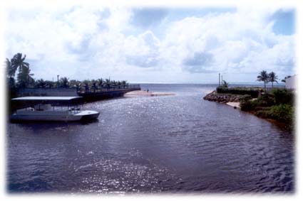
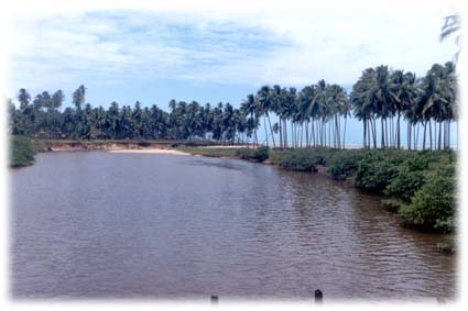
Location: North from Alagoas
Latitud: 09º 00´44"
Longitude: 35º 13´21"
Altitude: 5 m.
Área: 335 Km²
Population: 24.617 inhabitants (2004 IBGE) 
Climate: Tropical hot and humid
Medium temperature: 27 degrees
Economi: Turism, fishing and Agriculture 
Patron of the city: Santo Antônio
Mayor: Henrique Peixoto
Fundation: 24/4/1875
CEP: 57.955-000
Voltage: 220 Volts


Natural patrimony and tourist  


Maragogi was a primitive population call Gamela and it was part of the municipal district of Porto Calvo. It participated active in the fights against the Dutches. The population combats against the invaders in the district of Barra Grande, Barra de Piabas and Piabas do Bom Sucesso.
The resolution no. 681, of April 24, 1875, created the town giving Isabel's name. Dismembered of the municipal district of Porto Calvo, it passed to be called Maragogi and became city through the law no. 15, of May 16, 1892.

Fonte: Secretaria de Cultura de Maragogi


Limits

The current municipal district of Maragogi is limited to the east with Atlântico Sul; to West with Porto Calvo and Jacuípi; to the North with the State of Pernambuco; and to the South with Japaratinga (old Japaratuba). The Persinunga River limits with Pernambuco


Persinunga River

 the Carão River with Porto Calvo and Salgado River with Japaratinga


Salgado
River